3D Services
Check out our examples of 3D photo and laser scans
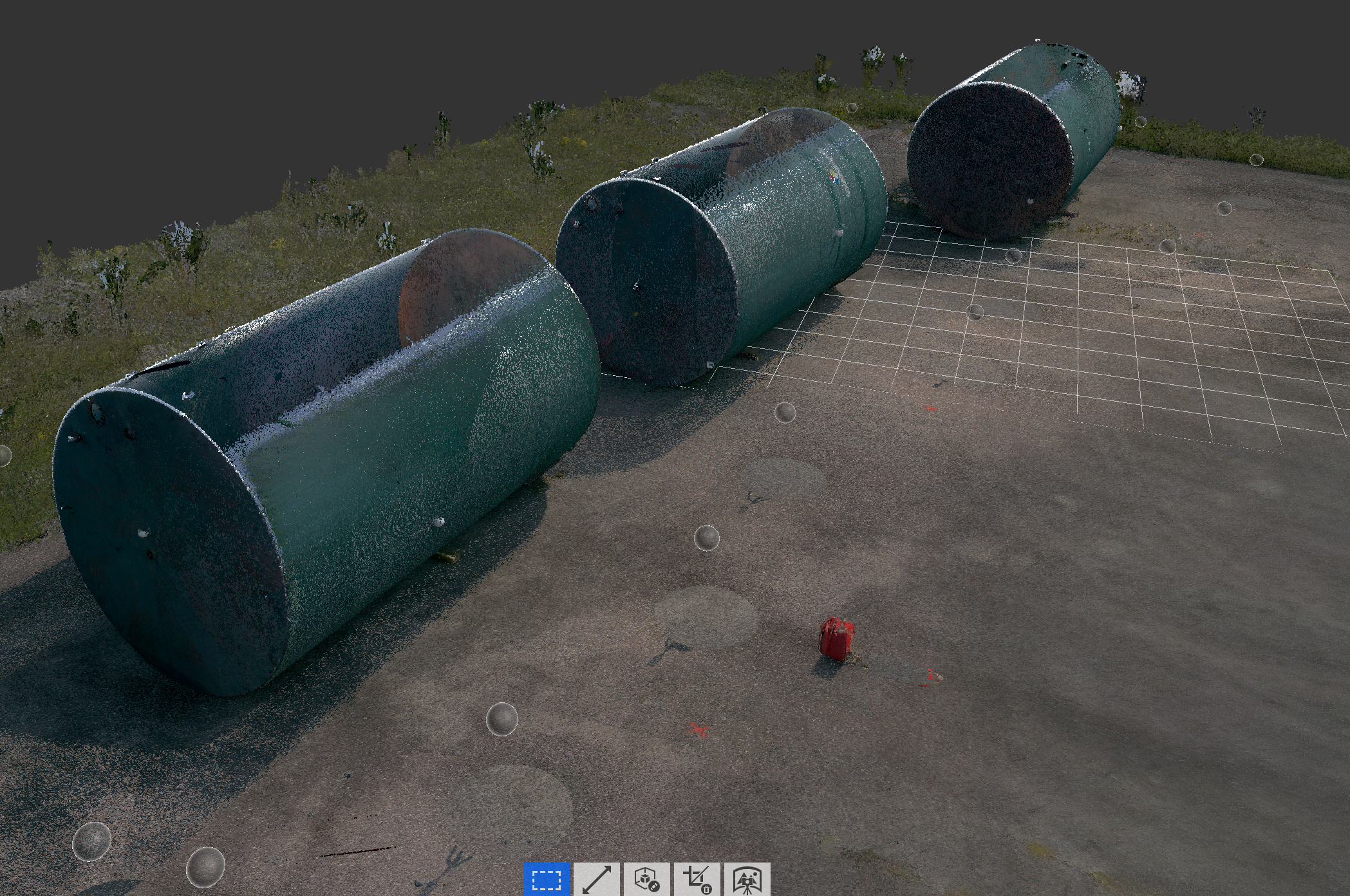
Rock Run offers various types of 3D laser scanning, 3D modeling, and 3D imaging or photogrammetry services. These include using high accuracy laser scanners, aerial (UAV)drone imagery and lidar, and ground based imagery techniques.
We can combine all three depending on the end use. Projects can be distributed to clients privately or hosted online for collaboration. Models are also able to be embedded within the clients own website for interaction or promotion.
Some use cases include generating as-built models for construction progress tracking and quality control. Clients might simply want to show their assets in 3D for a unique perspective. Scene recreation is capable for planning purposes.
Our 3D mesh models are able to be utilized in the virtual reality (VR) area for such things as set design or game creation. Deliverables also include topographic digital elevation models or DEMs and contour files.
Various common file types can be created for a wide variety of end uses. We can create .las, .lasz, .ply, .stl, .fbx, .obj, .e57, and many more.

- Elevation point cloud of office construction.


- Laser scan point cloud of Barclay Square in downtown Punxsutawney, PA. Shown in normal return.


- 3D Laser scan of rock formation. Showing intensity spectrum to highlight specific characteristics such as graffiti.


- Elevation model of in floor heat system.


- Interior scan of restaurant profile view.


- Elevation survey scan of office building footer.

View 3D models created from aerial photogrammetry processing.
Pennsylvania Rock Quarry by RockRun on Sketchfab
Natural Gas Frac Completions
by RockRun
on Sketchfab
Punxsutawney Municipal Airport
by RockRun
on Sketchfab
Mine Refuse Site
by RockRun
on Sketchfab