Aerial Lidar Scanning

Rock Run Enterprises, LLC offers aerial Lidar scanning with drones. We can offer complete infrastructure scanning for utility corridor analysis. Beneficial products derived from 3D Lidar point clouds are high resolution, centimeter accurate topography and digital elevation models.

Point clouds capture everything along a route. Our advanced GIS mapping technology uses A.I., machine learning, and deep learning to classify 3D point clouds. We can create several products from this process such as powerlines and bare ground topography.

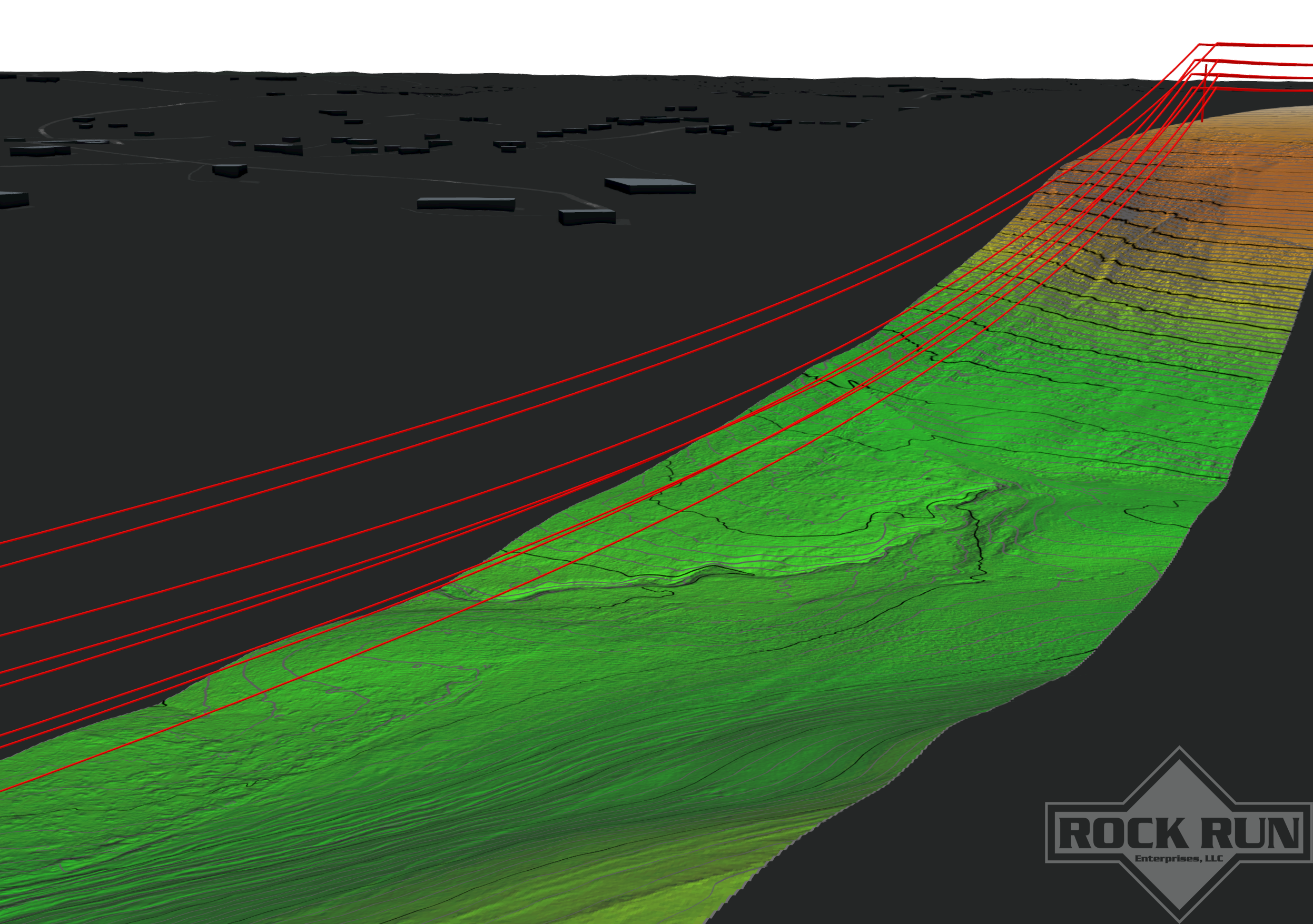
Powerlines are seen here extracted from identified point clouds.

High resolution topography also shown with desired contour lines for visual representation.


