GIS Mapping Services
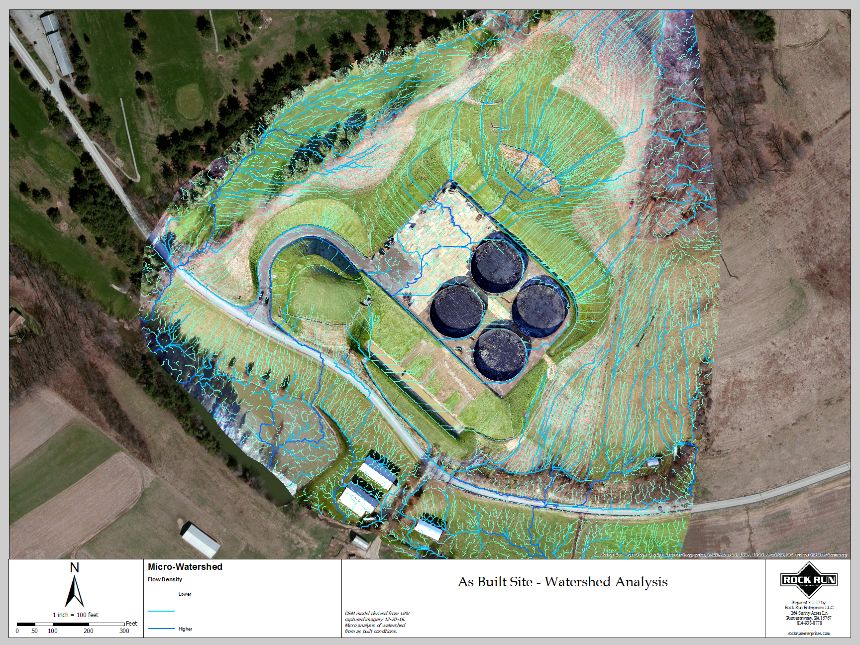
GIS is more than property and tax parcel mapping. We can map any type of geographical idea or process. If something has an X, Y, Z, we can map it.


GIS is more than property and tax parcel mapping. We can map any type of geographical idea or process. If something has an X, Y, Z, we can map it.