Thermal Drone Mapping

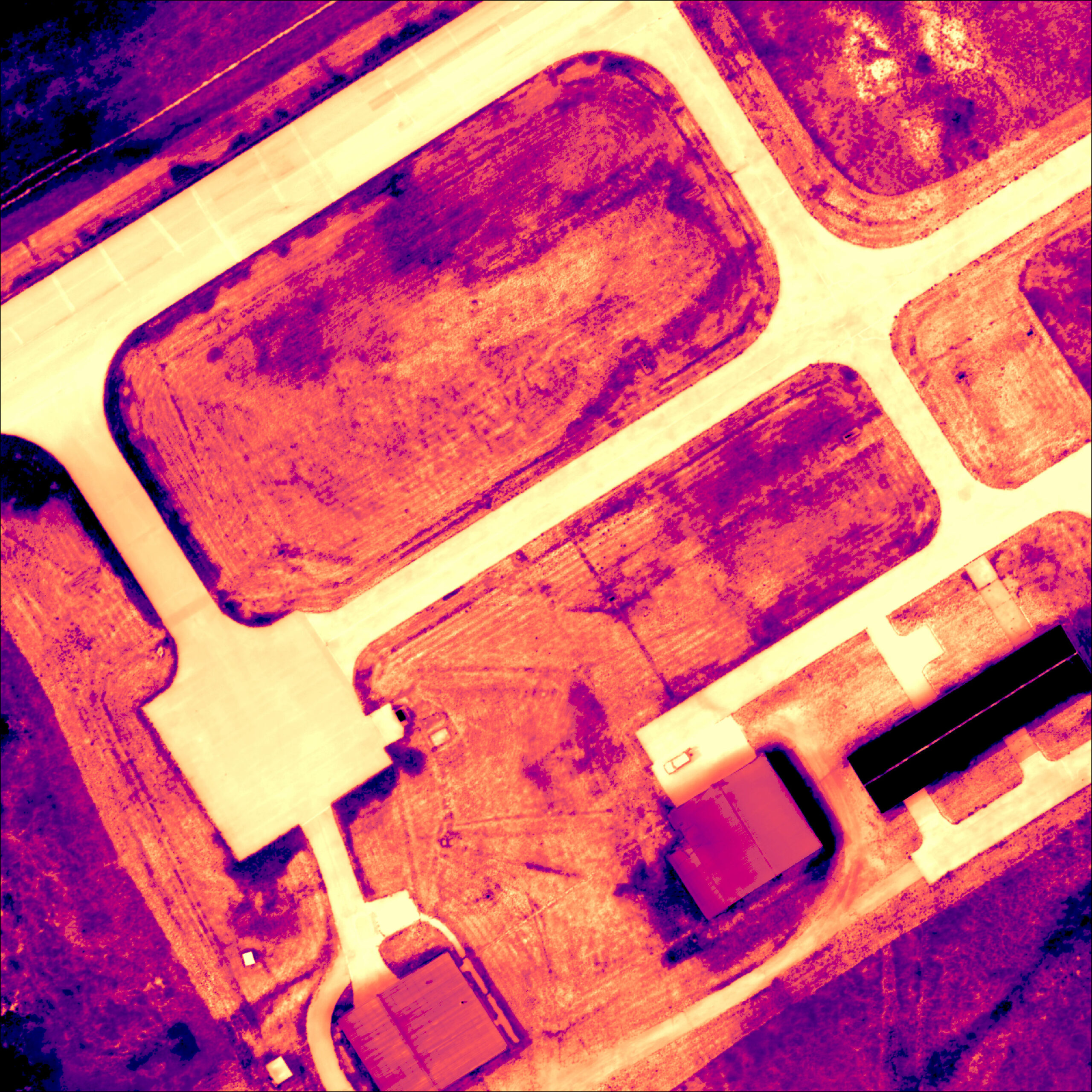
We use infrared thermal cameras mounted to a drone to create orthomosaic maps that can be used to assess hot and cold spots. Users can view temperature data in many colors in either Celsius or Fahrenheit.
Use cases include assessing impacts of new infrastructure on surrounding landscapes or locating areas of concern such as subsurface liquid or gas leaks.
High contrast images and photo overlay:

Thermal map.

Photo overlay.

High contrast thermal map.


