Topographic Survey of Lake
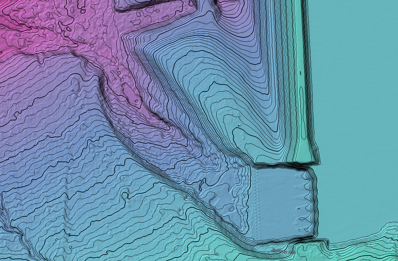
Demonstrating the capabilities of aerial LIDAR scanning around a frozen lake.
Lidar scanning highlights features not readily seen from traditional aerial mapping. Features like tributaries, paths, and structural issues can be visualized and measured to aid with infrastructure management.


